


Page 100 - Demo
P. 100
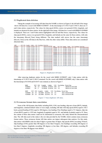
Automatic Identification System Data Fusion88Marine Research of the National Academy of Marine ResearchDOI: 10.29677/MR.202406_4(1).0006Figure 6. Duplicated AIS data.Figure 7. None duplicate AIS data. After removing duplicate entries for the vessel with MMSI 412508457, only 2 data entries with thetimestamps of 13:58:15 and 13:40:15 remained. For the vessel with MMSI 412950009, only 2 data entries with the timestamps of 0:10:46 and 0:10:47 were retained, as shown in Figure 7. Taking the example of accessing AIS data from the NAMR, as shown in Figure 6, the left half of the image shows AIS data for a vessel with MMSI 412508457. At the timestamps of 13:58:15 and 13:40:15, there are 11 and 6 data entries, respectively. The values for ship speed (SOG), course over ground (COG), longitude, and latitude are identical for these entries. In the right half of the image, AIS data for a vessel with MMSI 412950009is displayed. There are 3 and 9 data entries highlighted with red and blue boxes, respectively. The values for ship speed (SOG), course over ground (COG), longitude, and latitude are the same for these entries, with only the timestamp (Record_Time) being different. The data marked with arrows has the same timestamp(Record_Time) as the AIS data in the blue box, while the other values differ. These data entries are considered abnormal data.3.2 Duplicated data deletion Some of the AIS dynamic data fields, including SOG, COG, true heading, ship rate of turn (ROT), latitude, and longitude, contained default values or were empty, including AIS data with ship speed (SOG) equal to 102.3 knots, ground heading (COG) equal to 360 degrees, true heading (True Heading) equal to 511 degrees, ship rate of turn (ROT) equal to %u00b1128%u00b0/min, longitude (Longitude) equal to 181, and latitude (Latitude) equal to 91. Since the content of these data entries could not be determined as erroneous, this study deleted the aforementioneddata. The AIS data used in this study is the raw data provided by the NAMR, which contains many erroneous format entries. These erroneous format AIS data entries can impact subsequent data analysis. For this study,data entries with MMSI codes less than 9 digits or greater than 10 digits, ship speeds (SOG) exceeding 70 knots, ship headings (COG) greater than 360 degrees or less than 0 degrees, true headings exceeding 360 degrees orless than 0 degrees, longitudes exceeding 180 degrees or less than -180 degrees, and latitudes exceeding 90 degrees or less than -90 degrees were deleted.3.3 Erroneous format data cancelation


